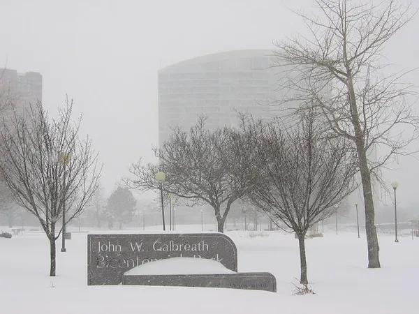
A Bone-Chilling Thursday: Columbus Faces Sub-Zero Wind Chills as Skies Turn Grey
Morning: A Bitterly Cold Start
Columbus residents waking up this Thursday, February 5, 2026, are greeted by a deep freeze. The early morning hours started with clear skies and periodic clouds, but the mercury remains stubbornly low. As of 4:00 AM, the temperature in the city is hovering around a frigid 4°F. However, with the light breeze moving through the Ohio Valley, the wind chill factor has plummeted, making it feel closer to -5°F for those heading out on their morning commutes. Humidity is currently high at 89%, adding a damp bite to the already freezing air.
Afternoon: Cloud Cover and Slight Gains
As we progress into the afternoon, the sun will struggle to break through an increasingly thick blanket of clouds. Expect the temperature to reach its peak for the day at approximately 20°F to 23°F. While this marks a significant rise from the morning lows, the persistent cloud cover will prevent any meaningful warmth from reaching the ground. The chance of precipitation remains low during the daylight hours, at approximately 20%, though the city will remain under a gray, overcast sky for most of the afternoon. Wind speeds are expected to be light, but given the existing cold air mass, they will continue to keep the real-feel temperature well below the actual thermometer reading.
Evening and Night: Snow Showers Move In
The evening forecast calls for a continuation of the cold snap, with temperatures dropping back toward the single digits. There is a 20% chance of light snow showers developing after sunset as a weak system moves through central Ohio. These showers are expected to be scattered and are unlikely to result in significant accumulation tonight, though they may create slick spots on untreated surfaces. Overnight lows are predicted to settle around 4°F, though some areas in the outer belt may see temperatures dip even further if the cloud cover breaks prematurely.
Alerts and Safety Notices
While the National Weather Service has not issued any active hazardous weather warnings for today specifically, officials are urging caution regarding the prolonged period of freezing temperatures. Following the recent impacts of Winter Storm Fern, property owners in Columbus are advised to inspect their roofs for ice dams. The combination of previous snow melt and the current deep freeze has created ideal conditions for ice to build up on gutters and eaves, which can lead to interior water damage. Additionally, with wind chills expected to reach dangerous levels again by tomorrow night, residents should limit time outdoors and ensure that pets have adequate shelter. Looking ahead to Friday, light snow accumulations are more likely, potentially impacting the morning commute.