Arctic Blast Grips Columbus: Sub-Zero Wind Chills and Morning Flurries
Central Ohio Braces for Bitter Cold and Dangerous Wind Chills
Columbus residents waking up this Monday, January 19, 2026, are facing some of the most challenging winter conditions of the season so far. As the city observes Martin Luther King Jr. Day, a powerful arctic blast has settled over the region, prompting a Weather Impact Alert Day. Local meteorologists and the National Weather Service have issued a Cold Weather Advisory, warning that the combination of plunging temperatures and biting winds will create hazardous conditions for anyone outdoors.
Morning Forecast: Early Highs and Lingering Flurries
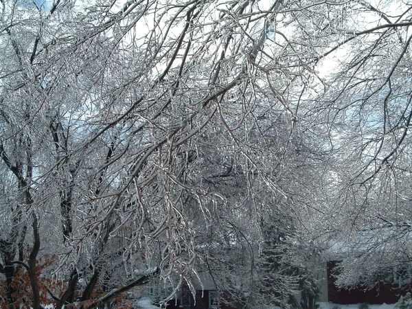
The high temperature for the day, expected to reach between 20°F and 25°F, likely occurred during the pre-dawn hours. Throughout the morning, residents can expect temperatures to steadily decline into the teens. Light snow showers and fluffy flurries are expected to persist until approximately 11:00 AM, following a Sunday night that saw minor accumulations of less than an inch. While the snow volume is low, the extreme cold may cause any moisture on the roads to freeze quickly, making the morning commute or holiday travel potentially slick on bridges and overpasses.
Afternoon and Evening: The Deep Freeze
By the afternoon, the arctic air mass will fully take hold. Temperatures will continue to drop through the teens, reaching the single digits by late evening. Skies are expected to clear somewhat, becoming partly cloudy to mostly clear, but the lack of cloud cover will only accelerate the cooling process. For those attending holiday events or parades, it is essential to note that the mercury will be near 13°F by mid-afternoon and will fall toward a frigid overnight low of approximately 7°F.
Wind Chill Warnings and Safety Alerts
The primary concern for today is the wind chill. Sustained southwest winds of 10 to 15 mph, with gusts reaching up to 20 mph, will make the air feel significantly colder than the actual thermometer reading. Forecasts indicate that wind chills will range between -5°F and -15°F throughout the day and into Tuesday morning. These sub-zero values can cause frostbite on exposed skin in as little as 30 minutes. Local authorities recommend the following precautions:
- Dress in multiple layers of loose-fitting, warm clothing.
- Ensure extremities like ears, hands, and feet are fully covered.
- Limit time spent outdoors, especially for children and the elderly.
- Bring pets indoors and check on neighbors who may need assistance with heating.
The Cold Weather Advisory is currently set to remain in effect until 10:00 AM on Tuesday, as the region awaits a slow recovery from this intense winter freeze.