Columbus forecast points to a milder Wednesday with breezy clouds and scattered midday snow showers
Wednesday warm-up arrives after a very cold Tuesday
Central Ohio is set for a brief temperature rebound on Wednesday, January 21, after a bitterly cold start to the week in Columbus. Tuesday’s forecast features abundant sunshine but remains sharply cold, with a high near 22°F and an overnight low around 18°F.
By Wednesday, daytime highs are expected to climb to about 39°F, a noticeable change that should feel “less cold” even as clouds and wind increase. The warming trend is short-lived, with colder conditions returning later in the week.
What to expect Wednesday: clouds, wind, and snow showers developing midday
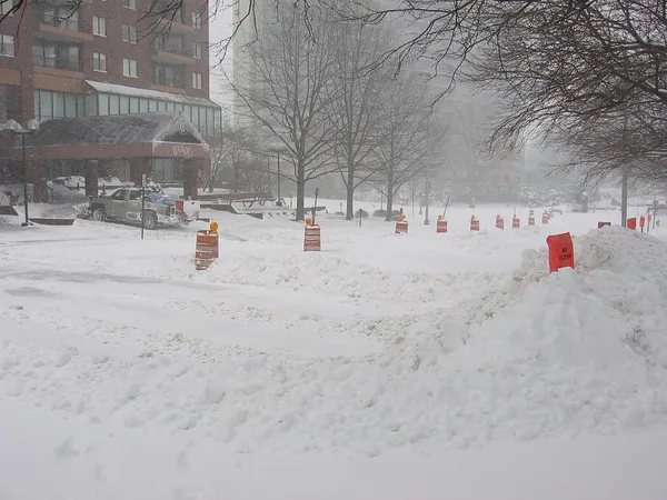
Wednesday is expected to turn mostly cloudy and breezy. Light snow showers may begin around midday, raising the chance of slick travel—especially on untreated roads, bridges, and overpasses. Any snow that falls could temporarily reduce visibility and create patchy slippery spots during the afternoon and evening commute windows.
Temperatures Wednesday night are forecast to drop to roughly 28°F, allowing any wet spots to refreeze. Drivers and pedestrians should anticipate quick changes in pavement conditions where snow showers occur.
Wednesday (Jan. 21): High near 39°F; mostly cloudy; breezy; scattered snow showers developing around midday.
Wednesday night: Low near 28°F; refreezing risk on damp surfaces.
Colder air returns late week, with a sharp dip in nighttime temperatures
Thursday remains mostly cloudy with a high near 34°F, then temperatures fall quickly by night, with a low near 16°F. Friday is forecast to stay cloudy and brisk, with a high near 22°F, followed by an exceptionally cold night with lows near -1°F.
That cold stretch is expected to continue into the weekend. Saturday’s high is forecast near 14°F with a low near 7°F, and Sunday is projected to remain frigid with intermittent snow or flurries and a high near 19°F.
The midweek warm-up is expected to be brief, with colder air reasserting itself from late Thursday into the weekend.
Practical impacts: travel, refreeze risk, and cold-weather precautions
The most immediate concern is Wednesday’s midday snow showers combined with breezy conditions and temperatures hovering near freezing late in the day. Even minor snowfall can create localized slick spots, particularly where traffic and pavement temperatures vary. The late-week cold increases the risk of refreezing and can also raise concerns for exposed plumbing and extended outdoor exposure.