Dangerously Cold Air Targets Columbus This Week, With Wind Chills Near Minus 25 And Snow Impacts
Arctic cold follows winter storm conditions across central Ohio
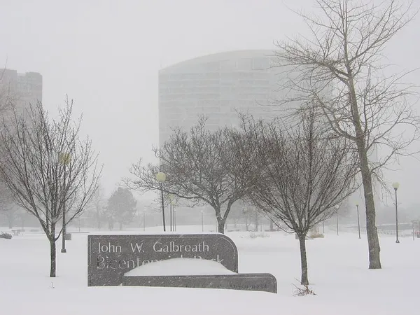
Columbus is heading into a stretch of potentially dangerous cold through the end of January, with subzero wind chills expected and lingering travel impacts from winter weather early in the week. Forecast conditions point to daytime highs largely staying in the single digits to teens, with overnight lows below zero on multiple nights.
In Franklin County, an Extreme Cold Warning is in effect from 6 p.m. Monday, Jan. 26, until noon Tuesday, Jan. 27, following a Cold Weather Advisory that runs through Monday afternoon. The warning period includes forecast wind chills as low as minus 25 degrees. Such conditions raise the risk of frostbite on exposed skin in as little as 30 minutes and can quickly become life-threatening for anyone outdoors without adequate protection.
What the next seven days look like in Columbus
The temperature pattern this week is expected to remain well below seasonal norms for central Ohio. Forecasts call for highs generally between about 8 and 20 degrees, with lows around minus 8 to about 6 degrees. Even when actual air temperatures rise into the teens, wind can drive “feels-like” readings far lower, particularly during the late-night and early-morning hours.
Light snow and flurries are possible at times, including Tuesday afternoon, though significant additional accumulation is not currently indicated in the short-term outlook. Still, cold temperatures can keep roads slick, especially in shaded areas and on bridges and overpasses where refreezing can occur.
Active alerts and what they mean for daily life
Alongside the extreme cold messaging, a Winter Storm Warning for Franklin County remains in effect until midday Monday, Jan. 26, citing areas of blowing snow and hazardous travel conditions related to accumulated snowfall. For commuters, the combination of reduced visibility, drifting snow, and very cold pavement temperatures can prolong poor road conditions even after precipitation tapers off.
Public resources: warming centers and cold-weather precautions
City-operated warming resources are available when very cold weather is forecast, including a network of locations listed through the City of Columbus warming centers program. Columbus Recreation and Parks has also announced extended-hours warming access at five regional community centers during this cold outbreak: Barnett, Dodge, Linden, Marion Franklin, and Thompson community centers.
- Limit time outdoors and take frequent warm-up breaks if outside work is unavoidable.
- Dress in loose layers and cover extremities; a hat, gloves, and face covering reduce heat loss.
- Bring pets indoors whenever possible and ensure outdoor animals have unfrozen water and shelter.
- Keep an emergency kit in vehicles, as breakdowns can become dangerous quickly in subzero wind chills.
In this type of cold, the main hazards are rapid heat loss, frostbite risk on exposed skin, and dangerous conditions for anyone stranded outdoors or in an unheated space.
Residents are urged to monitor changing local alerts through the week, particularly as wind and snow cover can shift how quickly roads improve and how severe wind chills become from neighborhood to neighborhood.