Frigid Air and Stray Flurries: A Bone-Chilling Sunday Across Columbus
Winter’s Sharpest Bite Arrives
As the lead editor for columbus.news, I am tracking a significant weather shift that has settled over Central Ohio this morning. Residents waking up on Sunday, February 8, 2026, are being met with what meteorologists are calling the coldest air of the season. After a week of fluctuating temperatures, a stubborn arctic front has parked itself over the region, bringing a mix of gray skies, biting winds, and the threat of scattered flurries. Whether you are heading to a morning service or preparing for the work week ahead, the message from local officials is clear: today is a day for heavy layers and extra caution.
Morning: The Deep Freeze
The early morning hours in Columbus have seen temperatures plummet to a staggering 3°F. However, the thermometer only tells half the story. Due to a persistent breeze, wind chill values are hovering well below zero, making it feel dangerously cold for anyone caught outdoors without proper protection. Local impact teams report that these sub-zero wind chills are likely to persist through the mid-morning, even as the sun attempts to peek through the heavy cloud cover. Humidity remains high at approximately 89%, adding a damp, piercing quality to the air that increases the risk of frostbite on exposed skin during early commutes.
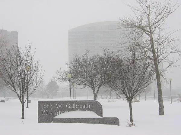
Afternoon: Gray Skies and Stray Flurries
By the afternoon, we expect a modest climb in temperature, though the environment remains decidedly wintry. The high for today is projected to reach only 22°F to 23°F, which is nearly 15 degrees below the seasonal average for early February. Conditions will remain mostly cloudy throughout the day, with a 20% chance of light snow showers moving through the metro area. While major accumulation is not anticipated—current predictions suggest about 0.31 inches of fresh powder—the light nature of the snow combined with frigid ground temperatures could create localized slick spots on residential streets and highway overpasses. Drivers should remain alert for sudden drops in visibility if these bands of snow intensify during the mid-afternoon hours.
Evening and Overnight: Clearing and Cooling
As we transition into the evening, the cloud cover is expected to break, leading to a clear night across the capital city. However, the lack of clouds will allow what little heat the earth gathered during the day to escape into the atmosphere. Temperatures are forecasted to dive back down into the single digits, with an overnight low settling around 8°F. Residents are advised to check on vulnerable neighbors and ensure that pets are brought indoors as the city remains gripped by this arctic blast. Looking ahead to tomorrow, the frigid trend continues before a slight warming trend begins later in the work week.
Sunday Weather Summary
- Morning: 3°F with sub-zero wind chills; extremely cold conditions.
- Afternoon: High of 23°F; 20% chance of light snow (approx. 0.31 inches).
- Evening: Clearing skies; temperatures dropping back to a low of 8°F.
- Warnings: Coldest air of the season with sub-zero wind chill notices in effect for Central Ohio.