Frigid Records at Risk: Columbus Braces for Dangerous Sub-Zero Morning
A Historic Chill Settles Over the Capital City
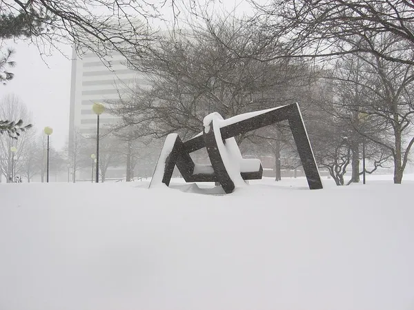
Columbus is waking up to one of the coldest days in recent memory this Saturday, January 31, 2026. As an Arctic air mass firmly establishes itself over Central Ohio, residents are being urged to take extreme precautions. According to local meteorological data, the city is on the verge of making history, with temperatures plummeting toward levels not seen in over two decades. The combination of clear skies and a stagnant polar air mass has created a high-stakes weather event for the region.
Morning: The Deep Freeze and Record Lows
The early hours of Saturday are expected to be the most brutal. Forecasters have highlighted that the record low for January 31 in Columbus stands at -6°F, a mark set back in 2004. Today’s predicted low is -6°F, meaning the city is likely to tie or potentially break this 22-year-old record. Early morning commuters will face hazardous conditions due to wind chill values that are expected to reach as low as -20°F. At these temperatures, frostbite can occur on exposed skin in less than 30 minutes, making it vital to cover all extremities if you must be outdoors.
Afternoon: Frigid Skies and Limited Warming
As the sun rises, there will be little relief from the cold. The afternoon forecast calls for a mix of clouds and sun, with the mercury struggling to reach a high of only 15°F. Winds will remain steady from the west-southwest at approximately 10 to 15 mph, keeping the 'RealFeel' temperature in the low single digits throughout the peak of the day. Additionally, air quality levels are currently rated as poor, which may affect sensitive groups such as those with asthma or other respiratory conditions.
Evening: Low Clouds and Extreme Cold Warnings
As evening approaches, cloud cover will thicken across Central Ohio. An Extreme Cold Warning remains in effect through noon today, but the danger persists into the overnight hours as temperatures are expected to drop back toward 7°F. While the chance of precipitation remains low at 20%, some areas may see light snow flurries or freezing fog. These conditions could lead to slick spots on secondary roads and overpasses.
Important Safety Precautions
- Dress in Layers: Wear at least three layers of loose-fitting, warm clothing, including a wind-resistant outer shell.
- Protect Pets: Ensure all pets are brought indoors, as the sub-zero wind chills are life-threatening for animals.
- Check Heating Systems: Verify that your furnace is functioning properly and keep vents clear of snow or debris.
- Travel Safely: Keep a winter emergency kit in your vehicle, including blankets and a flashlight, as car batteries are more likely to fail in extreme cold.