Subzero Shivers and Snow Flurries: Columbus Braces for a Frigid Groundhog Day
Arctic Blast Grips Central Ohio
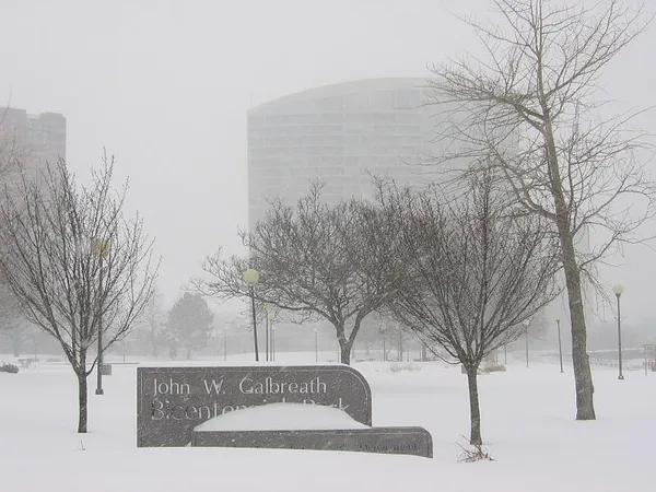
Columbus residents waking up this Monday, February 2, 2026, are facing some of the harshest winter conditions of the season. As the city marks Groundhog Day, the weather story isn't about shadows, but rather the biting Arctic air that has settled over the region. Local meteorologists and the National Weather Service have issued a Hazardous Weather Outlook for Franklin County, warning of dangerously low temperatures and potential travel hazards throughout the day.
Morning: A Bitterly Cold Start
The day began with clear skies but punishingly low temperatures. Early morning thermometers in downtown Columbus dipped to a bone-chilling 0°F, with outlying areas reporting even lower figures. However, the real story this morning is the wind chill. Subzero wind chill values are occurring across Central Ohio, making it feel significantly colder than the actual air temperature. Residents heading out for the morning commute are urged to dress in multiple layers and limit skin exposure, as frostbite can occur quickly in these conditions.
Afternoon: Rising Clouds and Stray Flurries
As we move into the afternoon, the mercury is expected to struggle upward, reaching a projected high of approximately 25°F to 28°F. While the sun may make brief appearances, cloud cover will increase steadily. There is a 25% chance of snow showers developing during the afternoon hours. While heavy accumulation is not expected, the National Weather Service has released a Special Weather Statement warning that even very light snow could lead to slick spots on area roads and overpasses. Drivers should remain vigilant during the afternoon rush hour, as the frigid pavement will allow any moisture to freeze instantly.
Evening and Tonight: Persistent Chill
The evening forecast remains cloudy and cold. Temperatures will begin to retreat once again, settling into the lower 20s or upper teens by late tonight. The chance of snow persists at about 20%, though most areas will see nothing more than scattered flurries. Humidity remains high at around 83%, contributing to a damp, piercing cold that will linger through the overnight hours.
Weather Alerts and Safety Notices
Current active notices for Columbus include:
- Hazardous Weather Outlook: Issued for subzero wind chills this morning and potential slick spots from light snow.
- Wind Chill Advisory: Recommended precautions for those working outdoors or waiting for public transit.
- Road Safety: City crews are on standby, but the extreme cold can reduce the effectiveness of traditional road salt.
Looking ahead, the mid-week forecast suggests a brief reprieve before more significant snow chances return toward the weekend. For today, the best advice for Columbus residents is to stay warm, stay dry, and keep a close eye on the pavement.