Visibility and Frost: Navigating a Shrouded Monday in Columbus
Morning: Dense Fog Advisory and Icy Hazards
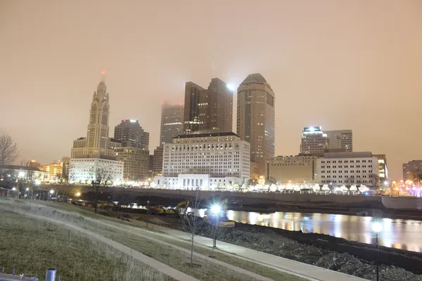
Columbus residents waking up this Monday, February 16, 2026, are met with a thick, gray blanket of fog that has triggered a Dense Fog Advisory for the entire central Ohio region. The 10 Weather Impact Team has officially declared today a Weather Impact Alert Day due to the potential for significant travel delays. Early morning temperatures are hovering right at the freezing mark, approximately 32°F, which has created a recipe for freezing fog. This means that in addition to visibility dropping to near zero in some areas, light icing is possible on elevated surfaces and bridges.
Commuters are advised to leave early and maintain a safe following distance. The National Weather Service expects the densest pockets of fog to persist through at least 11:00 a.m. before the atmosphere begins to stabilize. With humidity levels near 100%, the damp cold will feel particularly biting, so heavy coats and scarves are recommended for those heading out for the morning rush.
Afternoon: A Transition to Mild Sunshine
Once the morning shroud lifts, the weather in Columbus is expected to take a more pleasant turn. The afternoon forecast calls for a transition to partly sunny skies as a strong west-southwest flow begins to dominate the state. Temperatures will climb steadily from the morning lows, reaching a predicted high of 49°F. This is notably mild for mid-February, offering a brief respite from the typical winter chill.
- Maximum Temperature: 49°F
- Sky Conditions: Clearing fog followed by partly sunny intervals.
- Wind: Light and variable winds shifting to the southwest.
Despite the sun, residents should be mindful of melting snow and ice. The rapid pace of snowmelt from recent days combined with the morning's moisture may leave many roads and sidewalks damp throughout the day.
Evening: Cooling Down and Quiet Skies
As we head into the evening hours, the skies will remain partly cloudy. Temperatures are forecast to dip back down into the lower to mid-30s. While no major precipitation is expected during the evening commute, there is a minor 15% chance of light snow flurries late at night as humidity remains high at 81%. However, no accumulation is anticipated for the metro area. Looking ahead, the dry conditions are expected to hold through Tuesday evening before a more active weather system moves into the Great Lakes region later in the week.